


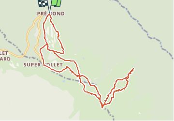

12 km | 26 km-effort

User


FREE GPS app for hiking
 SityTrail
IGN / Geographical institutes
SityTrail World
The world is yours!
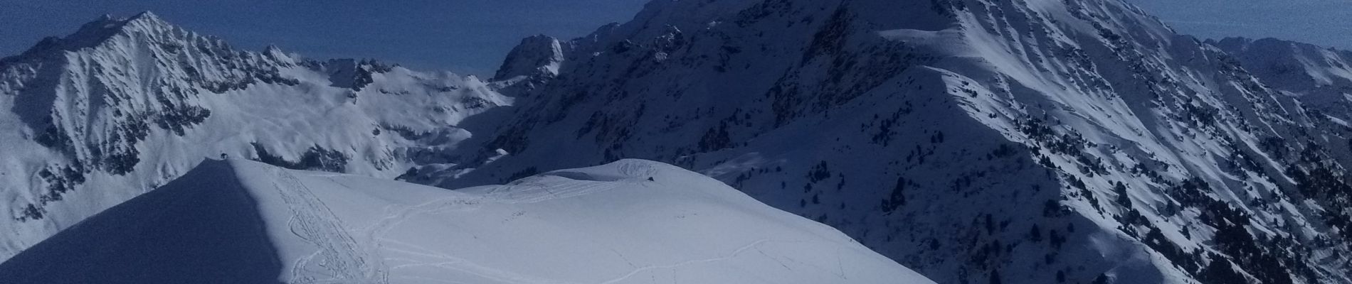
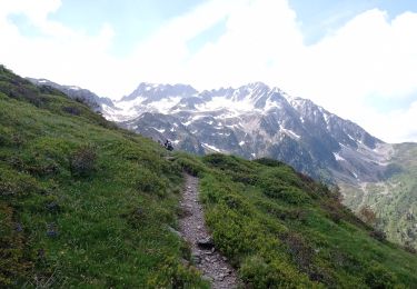
Trail Touring skiing of 13 km to be discovered at Auvergne-Rhône-Alpes, Isère, La Chapelle-du-Bard. This trail is proposed by nadd73.
De pré rond
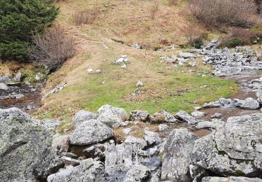
il est préférable de descendre dans le vallon du ruisseau du Grand Orgeval et monter au col de Claran


Walking

Walking
Walking
Walking
Walking
Walking
On foot
On foot
Walking